
Natricidae
Eastern Ribbonsnake
Thamnophis saurita
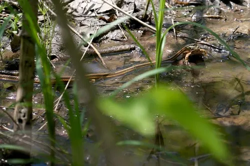
A closer look
Eastern Ribbonsnake (Thamnophis saurita) is native to 28 U.S. jurisdictions, including Alabama, Connecticut, and Washington, D.C.. This active natricine snake often associated with water or moist cover is most often associated with wet meadows, stream edges, marshes, woodland, and other moist cover and typically feeds on amphibians, fish, earthworms, slugs, and other small prey.
- Habitat
- Wet meadows, stream edges, marshes, woodland, and other moist cover
- On the menu
- Amphibians, fish, earthworms, slugs, and other small prey
- Behavior
- Usually avoids people and uses cover or water as an escape route when disturbed.
Not considered venomous to people. Observe without handling, and never corner or relocate a wild snake.
Safety & bite guidance ↗Where it is listed
A sense of place.
Checklist presence only. A highlighted state is not a local range boundary. Territory tiles are schematic.
State & territory checklist
About continuous range data
A verified habitat-model layer is not available for this species in this release. Earlier broad sketches connected jurisdiction locations; they did not show measured occurrence or USGS habitat predictions.
Use USGS distribution resources ↗ for available modeled habitat data.
Names, sources & image evidence
Also known as: No additional names recorded.
Taxonomy: provisional. Territory checklist entries may be provisional. Field descriptions include broad group-level natural-history summaries.
Research Grade iNaturalist observation 1513789 has exact taxon Thamnophis saurita
Conservation & local rules
Collection, possession, relocation, and protection rules vary by state and territory. Check the relevant wildlife agency before taking action. Leave wild snakes where they are.